File Details |
|
| File Size | 0.6 MB |
|---|---|
| License | Freeware |
| Operating System | Windows 2000/9x/Vista/XP |
| Date Added | December 15, 2005 |
| Total Downloads | 2,483 |
| Publisher | Trefach Astronomy Centre |
| Homepage | GPS Mapper |
Publisher's Description
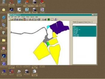
GPS Mapper was created because of a desire to download waypoints from a GPS handset and create a map of shapes or plot points of reference. You plug your Garmin GPS handset into the serial port, start GPS Mapper, bring up the GPS dialog, initialise the handset and download the waypoints. Once the waypoints are downloaded you move to the main window and select the waypoint list. Create shapes by clicking on each waypoint in the order you want them plotted. Or click on the first waypoint, hold down the SHIFT key and click on the last waypoint.
Once shapes are added to the map, you can select what shapes or point-sets that you have created, draw them and export the map as a bitmap. You can place a ruler on the map either vertically or horizontally that will allow you to demonstrate the scale of your map. You can also add a legend with a colour code based on the colours you have given your shapes. A feature that allows you to create classes that a shape can be associated with allows you to have pre-defined colours and attributes for the shapes or point-sets.
